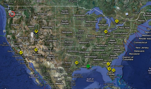
The Hungarian National Association of Radio Distress-Signalling and Infocommunications (RSOE) operates Emergency and Disaster Information Service (EDIS) within the frame of its own website which has the objective to monitor and document all the events on the Earth which may cause disaster or emergency. Our service is using the speed and the data spectrum of the internet to gather information. We are monitoring and processing several foreign organisation’s data to get quick and certified information.
Not only do they track disasters on Earth, but they track objects possibly on their way to Earth.
If you end up clicking on the link, don’t just check out the map, but scroll down for all the details and other info.


Dude, that little green Nuclear things is right over where I live!!!! WHAT THE HECK!!!!
Interesting! Check out this site from the U.S. Census Bureau which provides access to population and workforce data for disaster and natural hazard areas in real time. Pretty cool. http://onthemap.ces.census.gov/em.html