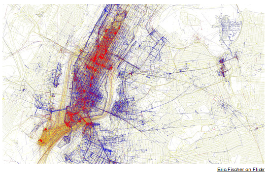
Eric Fischer, a 37-year-old computer programmer from Oakland, Calif., created a map using geotagging data on the photo-sharing websites Flickr and Picasa to plot the points in New York (and 71 other cities) captured by shutterbugs. He then devised an ingenious system for separating tourists from locals. A user with many shots of the same city taken over a wide range of dates is deemed to be a local, and marked on the map with blue dots. Tourists get a red dot.
Here are the Texas cities if you are interested:
