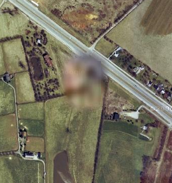
A number of locations on many free, publicly-viewable satellite map services, including Google Maps, have missing, incomplete, or unclear map data. In some cases, these regions have been intentionally digitally obscured or blurred. This deliberate blurring of critical sites is in contrast to portions of Google Maps where only low resolution photographs are available, or where atmospheric or photographic conditions resulted in reduced resolution or clarity.
For example, here’s the home of William Hurt.